Thanks to the SWOT satellite, NASA has revealed the most precise map of the ocean floor ever created! – Farmingdale Observer
2025-04-24T11:46:00Z
The NASA’s SWOT satellite has revolutionized how we understand the ocean floor, creating unprecedented detailed seafloor maps that reveal hidden underwater landscapes. Launched in December 2022, the Surface Water and Ocean Topography mission has transformed m…
The NASA‘s SWOT satellite has revolutionized how we understand the ocean floor, creating unprecedented detailed seafloor maps that reveal hidden underwater landscapes. Launched in December 2022, the Surface Water and Ocean Topography mission has transformed marine exploration with centimeter-level precision technology.
Revolutionary seafloor mapping through satellite technology
Despite oceans covering over 70% of Earth’s surface, their depths remain largely unexplored. Before SWOT, oceanographers could only detect underwater mountains taller than one kilometer. The breakthrough satellite now identifies formations as small as 500 meters, potentially increasing known seamount numbers from 44,000 to 100,000.
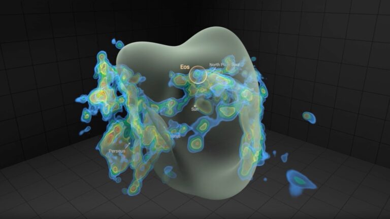
SWOT’s technology measures subtle variations in sea surface height with remarkable precision. These minute differences reflect underwater topography, as seamounts and abyssal hills exert gravitational pull that creates slight bulges in the water surface. This indirect seafloor mapping capability has revealed previously unknown geological structures similar to how cosmic phenomena are often discovered through subtle observations.
The satellite’s coverage is impressively comprehensive, scanning about 90% of Earth every 21 days. This frequent revisiting allows scientists to observe changes in water masses over time and identify stable patterns that indicate seafloor features. The detailed maps produced represent a quantum leap in ocean floor visualization, comparable to recent discoveries about lunar topography.
Hidden underwater ecosystems unveiled by SWOT
The newfound ability to detect smaller seamounts has profound ecological implications. These underwater mountains create marine biodiversity hotspots by concentrating nutrients along their slopes. In otherwise barren ocean areas, seamounts function as underwater oases teeming with life.
SWOT data reveals detailed information about abyssal hills that cover approximately 70% of the ocean floor. These formations appear in parallel bands where tectonic plates separate. By analyzing their orientation and arrangement, scientists gain insights into plate movements throughout Earth’s history and their impact on deep-ocean environments.
These detailed maps help identify critical marine habitats requiring protection. Much like recent research on species decline mechanisms, SWOT’s discoveries highlight fragile ecosystems at risk from human activities. The mission’s data supports strategic marine conservation planning to safeguard underwater biodiversity.
Beyond science: practical applications of seafloor charting
SWOT’s impact extends far beyond oceanographic research, offering practical benefits across numerous sectors. Enhanced seafloor mapping significantly improves maritime navigation safety and route planning for vessels and submarines traversing unfamiliar waters.
For underwater infrastructure, detailed seafloor information proves crucial for telecommunications cable and resource transport pipeline installation. The precision mapping helps engineers avoid hazardous terrain and identify optimal pathways for critical global communications networks.
Climate researchers use SWOT data to monitor sea levels and assess climate change impacts on oceans and coastal areas. This information proves invaluable for projecting future climate scenarios and developing adaptation strategies. The technology’s capabilities mirror other advanced Earth observation systems helping nations respond to environmental challenges.
The future of ocean exploration
Despite SWOT’s remarkable achievements, much work remains in comprehensive ocean mapping. The international scientific community aims to map all seafloors using ship-based sonar by 2030. SWOT complements these efforts by providing supplementary data that refines understanding of submarine topography.
Scientists currently focus on calculating the depth of observed features to create an even clearer picture of the ocean floor. Each new observation brings us closer to revealing secrets the ocean has kept for millions of years, much like other hidden natural histories emerging from changing environments.
Advanced satellite technologies continue evolving rapidly. From Seasat’s 1.5° resolution in 1978 to SWOT’s remarkable 0.05° precision today, satellite altimetry has transformed our oceanic understanding. This technological advancement parallels other space-based observation breakthroughs like satellite imagery revealing major infrastructure developments.
SWOT represents just the beginning of a new era in ocean exploration. As data processing capabilities improve and integration with other research methods advances, our knowledge of Earth’s last great frontier will expand exponentially. Understanding our oceans isn’t merely a scientific challenge—it’s essential for humanity’s future and preserving our natural environment.
Auto-posted from news source